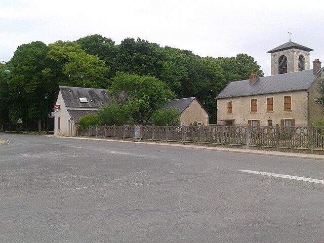
Saint-Caprais (Saint-Caprais)

- commune in Cher, France
- Country:

- Postal Code: 18400
- Coordinates: 46° 58' 6" N, 2° 17' 36" E


- GPS tracks (wikiloc): [Link]
- Area: 14.42 sq km
- Population: 772
- Wikipedia en: wiki(en)
- Wikipedia: wiki(fr)
- Wikidata storage: Wikidata: Q1329111
- Wikipedia Commons Category: [Link]
- Freebase ID: [/m/03md1r0]
- GeoNames ID: Alt: [6613993]
- SIREN number: [211802012]
- BnF ID: [152495477]
- INSEE municipality code: 18201
Shares border with regions:


Saint-Florent-sur-Cher
- commune in Cher, France
- Country:
- Postal Code: 18400
- Coordinates: 46° 59' 44" N, 2° 15' 6" E
- GPS tracks (wikiloc): [Link]
- Area: 22.41 sq km
- Population: 6671


Lunery
- commune in Cher, France
- Country:
- Postal Code: 18400
- Coordinates: 46° 56' 7" N, 2° 16' 16" E
- GPS tracks (wikiloc): [Link]
- Area: 32.87 sq km
- Population: 1512


Le Subdray
- commune in Cher, France
- Country:
- Postal Code: 18570
- Coordinates: 47° 0' 39" N, 2° 17' 40" E
- GPS tracks (wikiloc): [Link]
- Area: 20.28 sq km
- Population: 945
Lapan
- commune in Cher, France
- Country:
- Postal Code: 18340
- Coordinates: 46° 55' 24" N, 2° 17' 59" E
- GPS tracks (wikiloc): [Link]
- Area: 10.5 sq km
- Population: 200

Arçay
- commune in Cher, France
- Country:
- Postal Code: 18340
- Coordinates: 46° 56' 54" N, 2° 20' 25" E
- GPS tracks (wikiloc): [Link]
- Area: 18.32 sq km
- Population: 516