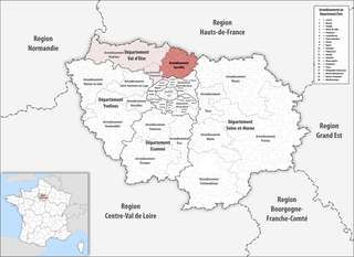
arrondissement of Meaux (arrondissement de Meaux)

- arrondissement of France
- Country:

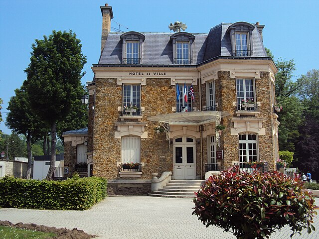
- Capital: Meaux
- Coordinates: 48° 57' 28" N, 2° 53' 8" E


- GPS tracks (wikiloc): [Link]
- Area: 1400 sq km
- Population: 340528
- Wikipedia en: wiki(en)
- Wikipedia: wiki(fr)
- Wikidata storage: Wikidata: Q642854
- Freebase ID: [/m/0953v6]
- GeoNames ID: Alt: [2994797]
- INSEE arrondissement code: [771]
Includes regions:


canton of Coulommiers
- canton of France
- Country:
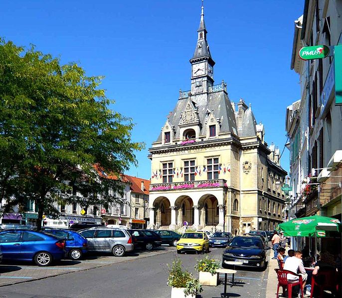
- Capital: Coulommiers
- Coordinates: 48° 48' 27" N, 3° 2' 35" E
- GPS tracks (wikiloc): [Link]
- Population: 63998


canton of Dammartin-en-Goële
- French administrative division in Meaux, Seine-et-Marne, France
- Country:
- Capital: Dammartin-en-Goële
- Coordinates: 49° 2' 22" N, 2° 43' 19" E
- GPS tracks (wikiloc): [Link]
canton of Lizy-sur-Ourcq
- canton of France (until March 2015)
- Country:
- Capital: Lizy-sur-Ourcq
- Coordinates: 49° 2' 16" N, 3° 1' 14" E
- GPS tracks (wikiloc): [Link]


canton of Mitry-Mory
- canton of France
- Country:
- Capital: Mitry-Mory
- Coordinates: 48° 58' 27" N, 2° 43' 37" E
- GPS tracks (wikiloc): [Link]
- Population: 60735

canton of La Ferté-sous-Jouarre
- canton of France
- Country:
- Capital: La Ferté-sous-Jouarre
- Coordinates: 48° 57' 4" N, 3° 8' 34" E
- GPS tracks (wikiloc): [Link]
- Population: 61265

canton of Crécy-la-Chapelle
- canton of France (until March 2015)
- Country:
- Capital: Crécy-la-Chapelle
- Coordinates: 48° 53' 17" N, 2° 54' 0" E
- GPS tracks (wikiloc): [Link]
Shares border with regions:


arrondissement of Torcy
- arrondissement of France
- Country:
- Capital: Torcy
- Coordinates: 48° 51' 4" N, 2° 38' 59" E
- GPS tracks (wikiloc): [Link]
- Area: 302 sq km
- Population: 427209


arrondissement of Provins
- arrondissement of France
- Country:
- Capital: Provins
- Coordinates: 48° 33' 29" N, 3° 17' 49" E
- GPS tracks (wikiloc): [Link]
- Population: 188738


arrondissement of Senlis
- arrondissement of France
- Country:
- Capital: Senlis
- Coordinates: 49° 12' 0" N, 2° 35' 0" E
- GPS tracks (wikiloc): [Link]
- Area: 1344 sq km
- Population: 281400


arrondissement of Le Raincy
- arrondissement of France
- Country:
- Capital: Le Raincy
- Coordinates: 48° 53' 52" N, 2° 31' 11" E
- GPS tracks (wikiloc): [Link]
- Area: 123 sq km
- Population: 750425

arrondissement of Château-Thierry
- arrondissement of France
- Country:
- Capital: Château-Thierry
- Coordinates: 49° 2' 39" N, 3° 24' 5" E
- GPS tracks (wikiloc): [Link]
- Area: 1115 sq km
- Population: 69558

arrondissement of Sarcelles
- French arrondissement in Val-d'Oise
- Country:
- Capital: Sarcelles
- Coordinates: 48° 59' 50" N, 2° 22' 43" E
- GPS tracks (wikiloc): [Link]
- Area: 364 sq km
- Population: 469702