arrondissement of Saint-Nazaire (arrondissement de Saint-Nazaire)

- arrondissement of France
- Country:

- Capital: Saint-Nazaire
- Coordinates: 47° 20' 0" N, 2° 10' 0" E


- GPS tracks (wikiloc): [Link]
- Area: 1758 sq km
- Population: 325683
- Wikipedia en: wiki(en)
- Wikipedia: wiki(fr)
- Wikidata storage: Wikidata: Q180843
- Freebase ID: [/m/095bz0]
- GeoNames ID: Alt: [2977920]
- INSEE arrondissement code: [443]
- GNS Unique Feature ID: -1467544
Includes regions:
canton of Bourgneuf-en-Retz
- canton of France (until March 2015)
- Country:
- Capital: Bourgneuf-en-Retz
- Coordinates: 47° 4' 37" N, 1° 56' 44" E
- GPS tracks (wikiloc): [Link]


canton of Pontchâteau
- canton of France
- Country:
- Capital: Pontchâteau
- Coordinates: 47° 26' 6" N, 2° 6' 20" E
- GPS tracks (wikiloc): [Link]
- Population: 48123


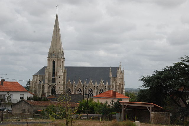
canton of Guérande
- canton of France
- Country:
- Capital: Guérande
- Coordinates: 47° 21' 32" N, 2° 26' 38" E
- GPS tracks (wikiloc): [Link]
- Population: 48435

canton of Le Croisic
- canton of France
- Country:
- Capital: Le Croisic
- Coordinates: 47° 17' 0" N, 2° 28' 21" E
- GPS tracks (wikiloc): [Link]

canton of Montoir-de-Bretagne
- canton of France
- Country:
- Capital: Montoir-de-Bretagne
- Coordinates: 47° 19' 51" N, 2° 8' 50" E
- GPS tracks (wikiloc): [Link]


canton of Saint-Gildas-des-Bois
- canton of France
- Country:
- Capital: Saint-Gildas-des-Bois
- Coordinates: 47° 30' 35" N, 2° 3' 21" E
- GPS tracks (wikiloc): [Link]

canton of Saint-Nazaire-Ouest
- canton of France
- Country:
- Capital: Saint-Nazaire
- Coordinates: 47° 16' 54" N, 2° 12' 27" E
- GPS tracks (wikiloc): [Link]

canton of Saint-Père-en-Retz
- canton of France
- Country:
- Capital: Saint-Père-en-Retz
- Coordinates: 47° 12' 55" N, 1° 59' 42" E
- GPS tracks (wikiloc): [Link]

canton of Saint-Nazaire-Est
- canton of France
- Country:
- Capital: Saint-Nazaire
- Coordinates: 47° 16' 54" N, 2° 12' 27" E
- GPS tracks (wikiloc): [Link]


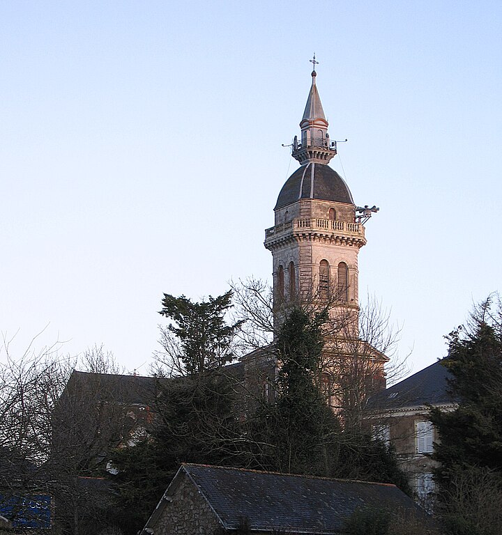
canton of Pornic
- canton of France
- Country:
- Capital: Pornic
- Coordinates: 47° 8' 11" N, 2° 6' 49" E
- GPS tracks (wikiloc): [Link]
- Area: 236.46 sq km
- Population: 36099
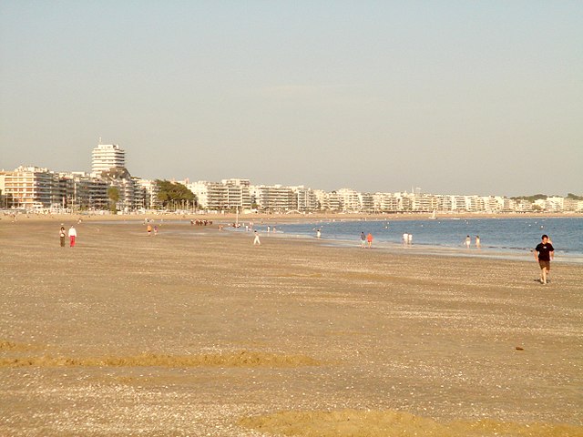

canton of La Baule-Escoublac
- canton of France
- Country:
- Capital: La Baule-Escoublac
- Coordinates: 47° 16' 56" N, 2° 21' 53" E
- GPS tracks (wikiloc): [Link]
- Population: 43693


canton of Saint-Nazaire-Centre
- canton of France (until March 2015)
- Country:
- Capital: Saint-Nazaire
- Coordinates: 47° 16' 54" N, 2° 12' 27" E
- GPS tracks (wikiloc): [Link]