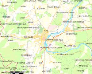
Toul (Toul)
- commune in Meurthe-et-Moselle, France
- Country:

- Postal Code: 54200
- Coordinates: 48° 40' 30" N, 5° 53' 30" E


- GPS tracks (wikiloc): [Link]
- AboveSeaLevel: 215 м m
- Area: 30.59 sq km
- Population: 16021
- Web site: http://www.mairie-toul.fr
- Wikipedia en: wiki(en)
- Wikipedia: wiki(fr)
- Wikidata storage: Wikidata: Q154728
- Wikipedia Commons Gallery: [Link]
- Wikipedia Commons Category: [Link]
- Wikipedia Commons Maps Category: [Link]
- Freebase ID: [/m/017p5d]
- Freebase ID: [/m/017p5d]
- Freebase ID: [/m/017p5d]
- GeoNames ID: Alt: [2972350]
- GeoNames ID: Alt: [2972350]
- GeoNames ID: Alt: [2972350]
- SIREN number: [215405283]
- SIREN number: [215405283]
- SIREN number: [215405283]
- BnF ID: [152645959]
- BnF ID: [152645959]
- BnF ID: [152645959]
- VIAF ID: Alt: [150643896]
- VIAF ID: Alt: [150643896]
- VIAF ID: Alt: [150643896]
- GND ID: Alt: [4106545-1]
- GND ID: Alt: [4106545-1]
- GND ID: Alt: [4106545-1]
- archINFORM location ID: [8707]
- archINFORM location ID: [8707]
- archINFORM location ID: [8707]
- Library of Congress authority ID: Alt: [n79091181]
- Library of Congress authority ID: Alt: [n79091181]
- Library of Congress authority ID: Alt: [n79091181]
- PACTOLS thesaurus ID: [pcrt0HjmIWl7dG]
- PACTOLS thesaurus ID: [pcrt0HjmIWl7dG]
- PACTOLS thesaurus ID: [pcrt0HjmIWl7dG]
- Quora topic ID: [Toul]
- Quora topic ID: [Toul]
- Quora topic ID: [Toul]
- EMLO location ID: [32c4ae39-14da-4417-9706-c04068662e82]
- EMLO location ID: [32c4ae39-14da-4417-9706-c04068662e82]
- EMLO location ID: [32c4ae39-14da-4417-9706-c04068662e82]
- Digital Atlas of the Roman Empire ID: [31]
- Digital Atlas of the Roman Empire ID: [31]
- Digital Atlas of the Roman Empire ID: [31]
- Global Anabaptist Mennonite Encyclopedia Online ID: [Toul (Meurthe-et-Moselle, France)]
- Global Anabaptist Mennonite Encyclopedia Online ID: [Toul (Meurthe-et-Moselle, France)]
- Global Anabaptist Mennonite Encyclopedia Online ID: [Toul (Meurthe-et-Moselle, France)]
- INSEE municipality code: 54528
- INSEE municipality code: 54528
- INSEE municipality code: 54528
- US National Archives Identifier: 10045031
- US National Archives Identifier: 10045031
- US National Archives Identifier: 10045031
Shares border with regions:


Gondreville
- commune in Meurthe-et-Moselle, France
- Country:

- Postal Code: 54840
- Coordinates: 48° 41' 35" N, 5° 57' 38" E


- GPS tracks (wikiloc): [Link]
- Area: 25.03 sq km
- Population: 2828


Charmes-la-Côte
- commune in Meurthe-et-Moselle, France
- Country:

- Postal Code: 54113
- Coordinates: 48° 37' 32" N, 5° 49' 39" E


- GPS tracks (wikiloc): [Link]
- Area: 6.23 sq km
- Population: 342


Villey-Saint-Étienne
- commune in Meurthe-et-Moselle, France
- Country:

- Postal Code: 54200
- Coordinates: 48° 43' 51" N, 5° 58' 40" E


- GPS tracks (wikiloc): [Link]
- Area: 17.29 sq km
- Population: 1104

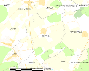
Bouvron
- commune in Meurthe-et-Moselle, France
- Country:

- Postal Code: 54200
- Coordinates: 48° 44' 29" N, 5° 52' 48" E


- GPS tracks (wikiloc): [Link]
- Area: 10 sq km
- Population: 253


Écrouves
- commune in Meurthe-et-Moselle, France
- Country:

- Postal Code: 54200
- Coordinates: 48° 40' 48" N, 5° 50' 26" E


- GPS tracks (wikiloc): [Link]
- Area: 10.3 sq km
- Population: 4389
- Web site: [Link]


Pagney-derrière-Barine
- commune in Meurthe-et-Moselle, France
- Country:

- Postal Code: 54200
- Coordinates: 48° 41' 36" N, 5° 50' 37" E


- GPS tracks (wikiloc): [Link]
- Area: 6.13 sq km
- Population: 637

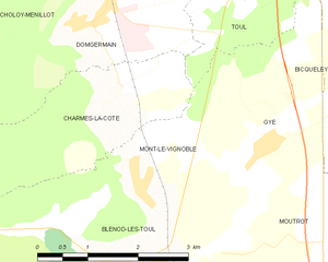
Mont-le-Vignoble
- commune in Meurthe-et-Moselle, France
- Country:

- Postal Code: 54113
- Coordinates: 48° 36' 47" N, 5° 50' 26" E


- GPS tracks (wikiloc): [Link]
- Area: 4.12 sq km
- Population: 419


Bruley
- commune in Meurthe-et-Moselle, France
- Country:

- Postal Code: 54200
- Coordinates: 48° 42' 26" N, 5° 51' 1" E


- GPS tracks (wikiloc): [Link]
- Area: 6.25 sq km
- Population: 618


Gye
- commune in Meurthe-et-Moselle, France
- Country:

- Postal Code: 54113
- Coordinates: 48° 37' 12" N, 5° 52' 32" E


- GPS tracks (wikiloc): [Link]
- Area: 6.51 sq km
- Population: 224
- Web site: [Link]

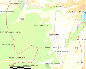
Domgermain
- commune in Meurthe-et-Moselle, France
- Country:

- Postal Code: 54119
- Coordinates: 48° 38' 33" N, 5° 49' 33" E


- GPS tracks (wikiloc): [Link]
- Area: 13.09 sq km
- Population: 1220


Dommartin-lès-Toul
- commune in Meurthe-et-Moselle, France
- Country:

- Postal Code: 54200
- Coordinates: 48° 40' 12" N, 5° 54' 28" E


- GPS tracks (wikiloc): [Link]
- Area: 6.87 sq km
- Population: 2012
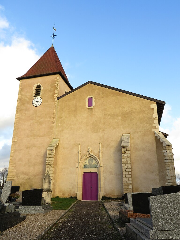

Francheville
- commune in Meurthe-et-Moselle, France
- Country:

- Postal Code: 54200
- Coordinates: 48° 44' 18" N, 5° 55' 53" E


- GPS tracks (wikiloc): [Link]
- Area: 10.94 sq km
- Population: 280


Chaudeney-sur-Moselle
- commune in Meurthe-et-Moselle, France
- Country:

- Postal Code: 54200
- Coordinates: 48° 39' 6" N, 5° 54' 18" E


- GPS tracks (wikiloc): [Link]
- Area: 8.34 sq km
- Population: 709
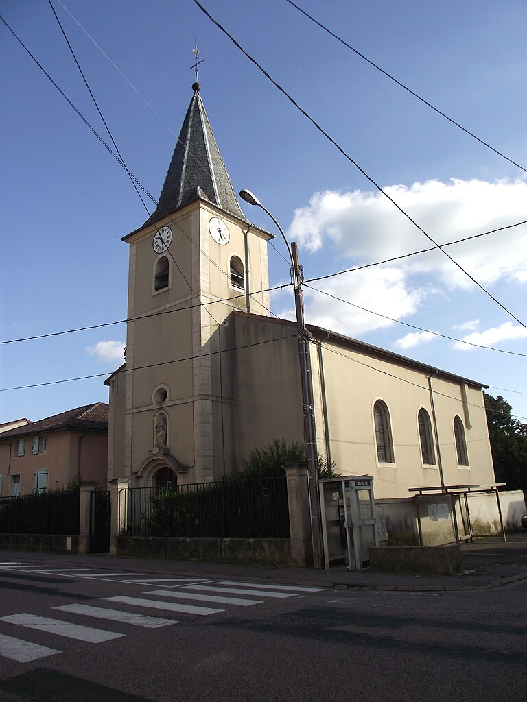

Bicqueley
- commune in Meurthe-et-Moselle, France
- Country:

- Postal Code: 54200
- Coordinates: 48° 37' 35" N, 5° 54' 43" E


- GPS tracks (wikiloc): [Link]
- Area: 16.82 sq km
- Population: 902
- Web site: [Link]
