canton of Le Bourg-d'Oisans (canton du Bourg-d'Oisans)
- canton of France
 Hiking in canton of Le Bourg-d'Oisans
Canton du Bourg-d'Oisans is a beautiful region in the French Alps, located in the Isère department. It is well-known for its stunning landscapes, dramatic mountain scenery, and a wide range of hiking opportunities that cater to all levels, from beginners to experienced hikers.
Key Features of Hiking in Canton du Bourg-d'Oisans:
-
Scenic Trails: The area is home to a variety of hiking trails that offer breathtaking views of the surrounding mountains, including impressive peaks like La Meije and the Écrins massif. Trails often pass through dense forests, alpine meadows, and along rivers.
-
Varied Difficulty Levels: Whether you are looking for leisurely walks or challenging hikes, the region has diverse options. Easy family-friendly routes are abundant, while more challenging ascents, such as climbs to mountain refuges or summits, can also be found.
-
Access to Alpe d'Huez: One of the most famous ski resorts in the Alps, Alpe d'Huez, is accessible from Bourg-d'Oisans. The area transforms in summer into a hiker’s paradise with numerous trails that provide opportunities to explore the beautiful surroundings.
-
Natural Parks: The region is close to the Écrins National Park, which offers extensive hiking opportunities amid protected ecosystems. This area is ideal for nature lovers, where you might encounter diverse wildlife and stunning flora.
-
Charming Villages: Hiking in the area also allows you to explore picturesque villages like Bourg d'Oisans, which have a rich history and offer traditional Alpine architecture, local markets, and the chance to experience the local culture.
-
Guided Tours: For those who prefer to hike with expert guidance, many local companies offer guided tours, which can enhance the experience by providing insights into the region's geography, flora, and fauna.
-
Seasonal Considerations: While summer is ideal for hiking, transitional seasons (spring and autumn) also provide good hiking opportunities, with the added benefit of fewer crowds. However, in winter, snow can affect trail accessibility, so proper equipment and route planning are necessary.
Preparing for Your Hike:
- Equipment: Proper hiking gear is essential—good hiking boots, weather-appropriate clothing, a backpack, and trekking poles can greatly improve your experience.
- Water and Snacks: Always carry sufficient water and energy snacks, especially on longer hikes.
- Navigation: Familiarize yourself with the maps and perhaps download GPS tracks beforehand, as some trails can be less marked.
- Respect Nature: Follow the "Leave No Trace" principles to ensure you protect the environment for future hikers.
Overall, hiking in Canton du Bourg-d'Oisans can be an unforgettable experience, offering a mix of adventure, scenic beauty, and an opportunity to connect with nature. Whether you're an experienced hiker or just looking to enjoy a day out in the mountains, this region has something to offer everyone.
- Country:

- Capital: Le Bourg-d'Oisans
- Coordinates: 45° 3' 49" N, 6° 4' 10" E


- GPS tracks (wikiloc): [Link]
- Wikidata storage: Wikidata: Q1725771
- Library of Congress authority ID: Alt: [n85013963]
- INSEE canton code: [3803]
Includes regions:


Clavans-en-Haut-Oisans
- commune in Isère, France
 Hiking in Clavans-en-Haut-Oisans
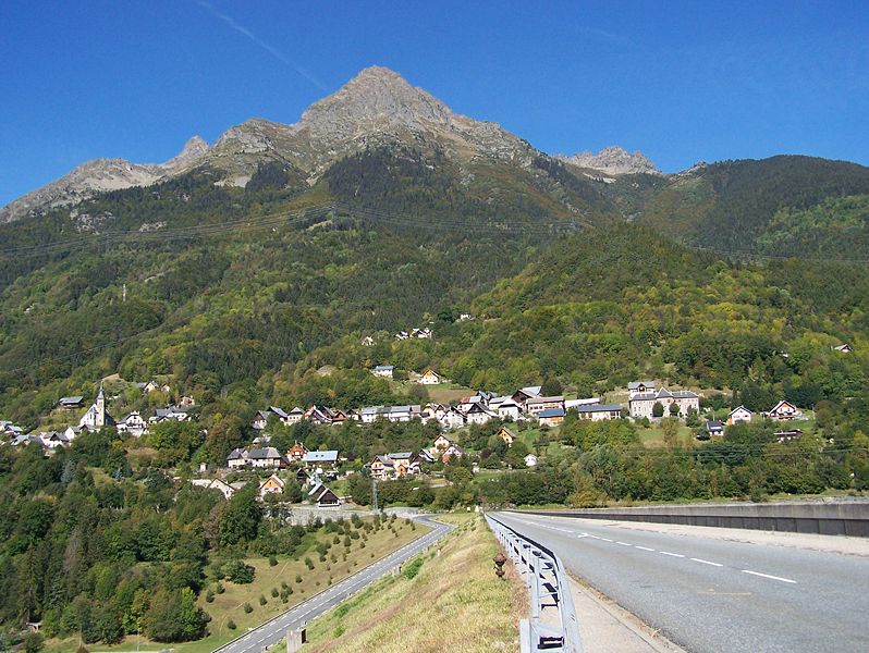
Clavans-en-Haut-Oisans is a picturesque village located in the French Alps, specifically in the Isère department. It's a fantastic base for hiking enthusiasts due to its stunning natural surroundings and proximity to the Écrins National Park, one of France's largest and most beautiful national parks....
- Country:

- Postal Code: 38142
- Coordinates: 45° 5' 1" N, 6° 9' 46" E


- GPS tracks (wikiloc): [Link]
- Area: 15.58 sq km
- Population: 108
- Web site: [Link]

Allemond
- commune in Isère, France
Allemont is a picturesque village located in the French Alps, specifically in the Isère department. It serves as a gateway to the Vaujany valley and nearby hiking routes in the Oisans region, making it a great base for outdoor enthusiasts. Here are some highlights and considerations for hiking in and around Allemont:...
- Country:

- Postal Code: 38114
- Coordinates: 45° 7' 49" N, 6° 2' 15" E


- GPS tracks (wikiloc): [Link]
- Area: 44.75 sq km
- Population: 1006
- Web site: [Link]

Mizoën
- commune in Isère, France
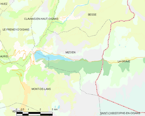
Mizoën is a charming village located in the Écrins National Park in the French Alps. This picturesque region is known for its stunning landscapes, pristine wilderness, and variety of hiking trails suitable for all levels of experience. Here’s some information to help you plan your hiking adventure in Mizoën:...
- Country:

- Postal Code: 38142
- Coordinates: 45° 3' 0" N, 6° 8' 33" E


- GPS tracks (wikiloc): [Link]
- Area: 14.6 sq km
- Population: 195
- Web site: [Link]

Villard-Reculas
- commune in Isère, France
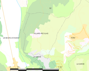
Villard-Reculas is a charming alpine village located in the French Alps, part of the larger Alpe d'Huez ski area. It’s a fantastic destination for hiking enthusiasts, offering a variety of trails that cater to different levels of experience. Here are some key features and tips for hiking in Villard-Reculas:...
- Country:

- Postal Code: 38114
- Coordinates: 45° 5' 32" N, 6° 1' 54" E


- GPS tracks (wikiloc): [Link]
- Area: 4.99 sq km
- Population: 57
- Web site: [Link]

Oulles
- commune in Isère, France
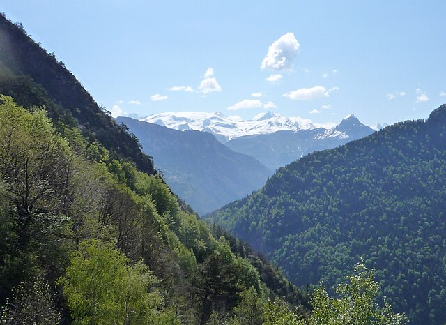
Oulles is a small, picturesque village located in the French Alps, known for its stunning natural beauty and excellent hiking opportunities. Situated in the Isère department, it offers a variety of trails suitable for different skill levels, making it a great destination for both novice and experienced hikers....
- Country:

- Postal Code: 38520
- Coordinates: 45° 4' 27" N, 5° 58' 58" E


- GPS tracks (wikiloc): [Link]
- Area: 11.01 sq km
- Population: 9
- Web site: [Link]


Villard-Reymond
- commune in Isère, France
Villard-Reymond is a picturesque mountain village located in the French Alps, specifically in the Isère department. Known for its stunning scenery, the area offers a variety of hiking opportunities for all levels of experience. Here are some highlights of hiking in and around Villard-Reymond:...
- Country:

- Postal Code: 38520
- Coordinates: 45° 2' 2" N, 6° 1' 6" E


- GPS tracks (wikiloc): [Link]
- Area: 11.21 sq km
- Population: 43
- Web site: [Link]


Besse
- commune in Isère, France
Besse, located in the Isère department of the Auvergne-Rhône-Alpes region in southeastern France, is a fantastic destination for hiking enthusiasts. Nestled in the spectacular landscapes of the French Alps, Besse offers a range of hiking trails that cater to various levels of experience, from beginner to expert....
- Country:

- Postal Code: 38142
- Coordinates: 45° 4' 18" N, 6° 10' 12" E


- GPS tracks (wikiloc): [Link]
- Area: 25.46 sq km
- Population: 133
- Web site: [Link]
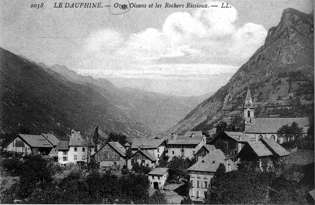

Oz
- commune in Isère, France
Hiking in Oz, a charming alpine village located in the Isère department of France, offers exhilarating experiences amidst breathtaking scenery. Situated within the Grandes Rousses mountains in the French Alps, Oz is part of the Alpe d'Huez ski area, which transforms into a hiker's paradise during the summer months....
- Country:

- Postal Code: 38114
- Coordinates: 45° 8' 27" N, 6° 3' 7" E


- GPS tracks (wikiloc): [Link]
- Area: 16.81 sq km
- Population: 246
- Web site: [Link]

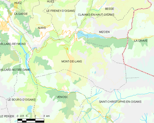
Mont-de-Lans
- former commune in Isère, France
Mont-de-Lans, located in the French Alps, is a scenic area that offers a variety of hiking opportunities for all levels of hikers. Situated near the famous ski resort of Les Deux Alpes, it transforms into a hiker’s paradise during the warmer months, showcasing stunning alpine landscapes, breathtaking views, and diverse flora and fauna....
- Country:

- Postal Code: 38860
- Coordinates: 45° 2' 9" N, 6° 7' 44" E


- GPS tracks (wikiloc): [Link]
- Area: 31.66 sq km
- Population: 1129
- Web site: [Link]


Vénosc
- former commune in Isère, France
Vénosc is a charming mountain village located in the French Alps, near the popular ski resort of Les Deux Alpes in the Isère department. The area offers a variety of hiking opportunities that cater to different skill levels, from leisurely walks to challenging mountain trails. Here are some highlights of hiking in Vénosc:...
- Country:

- Postal Code: 38520
- Coordinates: 44° 59' 24" N, 6° 6' 56" E


- GPS tracks (wikiloc): [Link]
- Area: 25.06 sq km
- Population: 765
- Web site: [Link]


Villard-Notre-Dame
- commune in Isère, France
Villard-Notre-Dame is a beautiful destination located in the French Alps, specifically in the Écrins National Park. This area is renowned for its stunning alpine landscapes, rich biodiversity, and a variety of outdoor activities, including hiking....
- Country:

- Postal Code: 38520
- Coordinates: 45° 1' 9" N, 6° 2' 38" E


- GPS tracks (wikiloc): [Link]
- Area: 14.06 sq km
- Population: 26
- Web site: [Link]


Le Freney-d'Oisans
- commune in Isère, France
Le Freney-d'Oisans is a charming village located in the Auvergne-Rhône-Alpes region of France, nestled in the French Alps. It's a fantastic location for hiking enthusiasts due to its stunning natural scenery, diverse trails, and proximity to other outdoor activities....
- Country:

- Postal Code: 38142
- Coordinates: 45° 2' 41" N, 6° 7' 32" E


- GPS tracks (wikiloc): [Link]
- Area: 14.54 sq km
- Population: 252
- Web site: [Link]

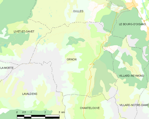
Ornon
- commune in Isère, France
Ornon is a lesser-known area that offers unique hiking opportunities, especially for those seeking a more tranquil outdoor experience. Located in the French Alps, the region is characterized by its stunning landscapes, dense forests, and diverse wildlife....
- Country:

- Postal Code: 38520
- Coordinates: 45° 2' 28" N, 5° 58' 40" E


- GPS tracks (wikiloc): [Link]
- Area: 11.6 sq km
- Population: 133

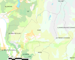
Huez
- commune in Isère, France
Alpe d'Huez, situated in the French Alps, is well-known for its winter sports, but it offers excellent hiking opportunities during the summer months. Here are some highlights and tips for hiking in the Huez area:...
- Country:

- Postal Code: 38750
- Coordinates: 45° 4' 57" N, 6° 3' 33" E


- GPS tracks (wikiloc): [Link]
- Area: 14.16 sq km
- Population: 1335
- Web site: [Link]

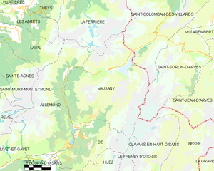
Vaujany
- commune in Isère, France
Vaujany is a charming alpine village located in the French Alps, within the Oisans region, and is part of the larger Alpe d'Huez Grand Domaine Ski area. It's not only a great skiing destination but also an excellent location for hiking, especially during the warmer months when the snow melts and the trails become accessible....
- Country:

- Postal Code: 38114
- Coordinates: 45° 9' 27" N, 6° 4' 36" E


- GPS tracks (wikiloc): [Link]
- Area: 64.54 sq km
- Population: 307
- Web site: [Link]
Le Bourg-d'Oisans
- commune in Isère, France
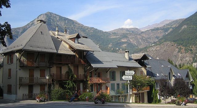
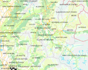
Le Bourg-d'Oisans is a charming commune located in the French Alps, nestled between the Oisans mountain range and the breathtaking Ecrins National Park. It's an excellent base for those who enjoy hiking, as it offers a variety of trails suitable for all experience levels, from beginner to advanced....
- Country:

- Postal Code: 38520
- Coordinates: 45° 3' 19" N, 6° 1' 46" E


- GPS tracks (wikiloc): [Link]
- Area: 35.75 sq km
- Population: 3239
- Web site: [Link]


La Garde
- commune in Isère, France
La Garde is a charming commune located in the Isère department in southeastern France, nestled in the picturesque landscape of the French Alps. It's a great destination for hiking enthusiasts, offering a variety of trails that cater to different skill levels....
- Country:

- Postal Code: 38520
- Coordinates: 45° 4' 8" N, 6° 2' 45" E


- GPS tracks (wikiloc): [Link]
- AboveSeaLevel: 982 м m
- Area: 9.09 sq km
- Population: 100
- Web site: [Link]


Auris
- commune in Isère, France
Auris, located in the Isère department of the Auvergne-Rhône-Alpes region in France, offers stunning hiking opportunities, especially for those looking to explore the beautiful landscapes of the French Alps. Here’s a guide to hiking in Auris:...
- Country:

- Postal Code: 38142
- Coordinates: 45° 2' 47" N, 6° 5' 12" E


- GPS tracks (wikiloc): [Link]
- Area: 11.21 sq km
- Population: 201
- Web site: [Link]

Saint-Christophe-en-Oisans
- commune in Isère, France
 Hiking in Saint-Christophe-en-Oisans
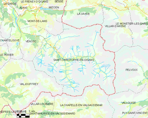
Saint-Christophe-en-Oisans is a charming village located in the French Alps, nestled within the Oisans valley. It serves as a gateway to some stunning hiking opportunities in the surrounding terrain, known for its breathtaking scenery, diverse ecosystems, and the proximity to the Écrins National Park....
- Country:

- Postal Code: 38520
- Coordinates: 44° 57' 26" N, 6° 10' 37" E


- GPS tracks (wikiloc): [Link]
- Area: 123.5 sq km
- Population: 105
- Web site: [Link]


Livet-et-Gavet
- commune in Isère, France
Livet-et-Gavet, located in the Auvergne-Rhône-Alpes region of France, is a picturesque destination for hiking enthusiasts. This area is characterized by its stunning natural landscapes, including lush forests, rivers, and mountainous terrain. Here are some highlights and tips for hiking in Livet-et-Gavet:...
- Country:

- Postal Code: 38220
- Coordinates: 45° 5' 28" N, 5° 54' 9" E


- GPS tracks (wikiloc): [Link]
- Area: 46.54 sq km
- Population: 1296
- Web site: [Link]