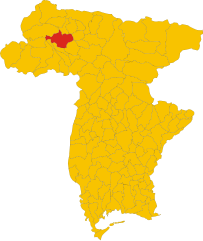
Ovaro (Ovaro)
- Italian comune
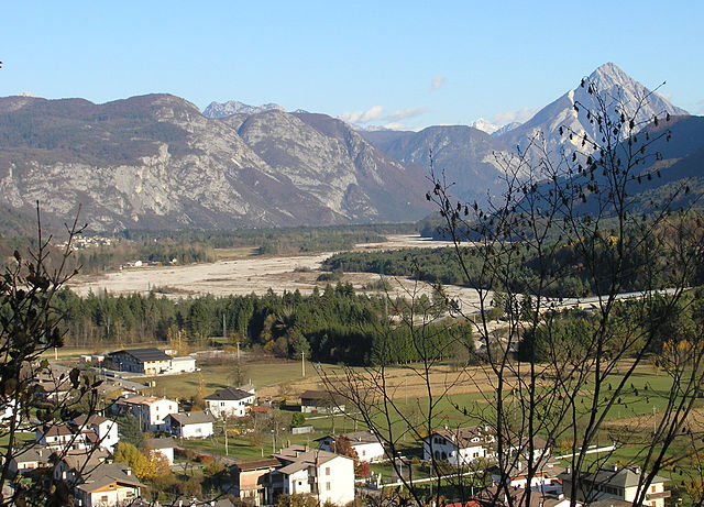
Ovaro is a beautiful town located in the Friuli Venezia Giulia region of northeastern Italy. It's situated in the Carnic Alps and is surrounded by stunning natural landscapes, making it a great destination for hiking enthusiasts. Here are some key points to consider when hiking in and around Ovaro:
Trails and Routes
-
Carnic Alps Nature Park: The trails here offer breathtaking views and a variety of landscapes, from lush forests to rocky mountain terrain. Popular hikes include routes that lead to scenic viewpoints or alpine lakes.
-
Monte Zoncolan: This peak is well-known for its panoramic views and is popular not just with hikers but also cyclers. There are various trails of differing difficulty levels leading to and from the summit.
-
Sentiero delle Malghe: This is a scenic route that connects various mountain pastures (malghe) around Ovaro. It’s an excellent option for those looking to experience local culture and traditional Alpine life.
Difficulty Levels
Hiking trails in the area range from easy strolls suitable for families to challenging climbs for experienced hikers. It's important to assess your fitness level and choose the appropriate trail.
Best Time to Hike
The best hiking months are typically from late spring through early autumn (May to October). Summer tends to be the most popular time, but spring and early autumn can also provide stunning landscapes with fewer crowds.
Preparation
- Footwear: Proper hiking boots are essential due to variable terrain.
- Navigation: It's advisable to carry a map or use hiking apps, as some trails might not be well-marked.
- Weather: The weather can change quickly in the mountains, so being prepared with layer clothing and rain gear is wise.
- Hydration & Snacks: Carry plenty of water and snacks to keep your energy up during hikes.
Local Tips
- Consider visiting local visitor centers for maps and information on trail conditions, as weather can impact trail accessibility.
- Engage with local guides or hiking groups for a more immersive experience, including historical insights and safety tips.
Hiking in Ovaro is not only an opportunity to connect with nature but also to experience the rich cultural heritage of the region. Enjoy your hikes!
- Country:

- Postal Code: 33025
- Local Dialing Code: 0433
- Licence Plate Code: UD
- Coordinates: 46° 29' 0" N, 12° 52' 0" E


- GPS tracks (wikiloc): [Link]
- AboveSeaLevel: 525 м m
- Area: 57.9 sq km
- Population: 1875
- Web site: http://www.comune.ovaro.ud.it/
- Wikipedia en: wiki(en)
- Wikipedia: wiki(it)
- Wikidata storage: Wikidata: Q53298
- Wikipedia Commons Category: [Link]
- Freebase ID: [/m/0gk9fz]
- GeoNames ID: Alt: [6538379]
- VIAF ID: Alt: [235242177]
- OSM relation ID: [79256]
- WOEID: [719711]
- UN/LOCODE: [ITOAR]
- Digital Atlas of the Roman Empire ID: [42313]
- ISTAT ID: 030067
- Italian cadastre code: G198
Shares border with regions:


Ampezzo
- Italian comune
Ampezzo, located in the Friuli Venezia Giulia region of Italy, is a beautiful destination for hiking enthusiasts. Nestled in the Carnic Alps, it offers stunning landscapes, diverse trails, and ample opportunities to connect with nature....
- Country:

- Postal Code: 33021
- Local Dialing Code: 0433
- Licence Plate Code: UD
- Coordinates: 46° 25' 0" N, 12° 47' 0" E


- GPS tracks (wikiloc): [Link]
- AboveSeaLevel: 560 м m
- Area: 73 sq km
- Population: 983
- Web site: [Link]


Comeglians
- Italian comune
Comeglians is a charming village located in the Friuli Venezia Giulia region of northeastern Italy, nestled in the heart of the Carnic Alps. The area is ideal for hiking enthusiasts, offering a variety of trails that cater to different skill levels and preferences. Here’s a breakdown of what you can expect when hiking in Comeglians:...
- Country:

- Postal Code: 33023
- Local Dialing Code: 0433
- Licence Plate Code: UD
- Coordinates: 46° 31' 0" N, 12° 53' 0" E


- GPS tracks (wikiloc): [Link]
- AboveSeaLevel: 553 м m
- Area: 19.41 sq km
- Population: 491
- Web site: [Link]


Lauco
- Italian comune
Lauco, a beautiful area located in the Friuli Venezia Giulia region of northeastern Italy, is known for its stunning landscapes, rich biodiversity, and scenic trails. Here are some key points to consider if you’re planning to hike in Lauco:...
- Country:

- Postal Code: 33029
- Local Dialing Code: 0433
- Licence Plate Code: UD
- Coordinates: 46° 25' 0" N, 12° 56' 0" E


- GPS tracks (wikiloc): [Link]
- AboveSeaLevel: 719 м m
- Area: 34.76 sq km
- Population: 726
- Web site: [Link]
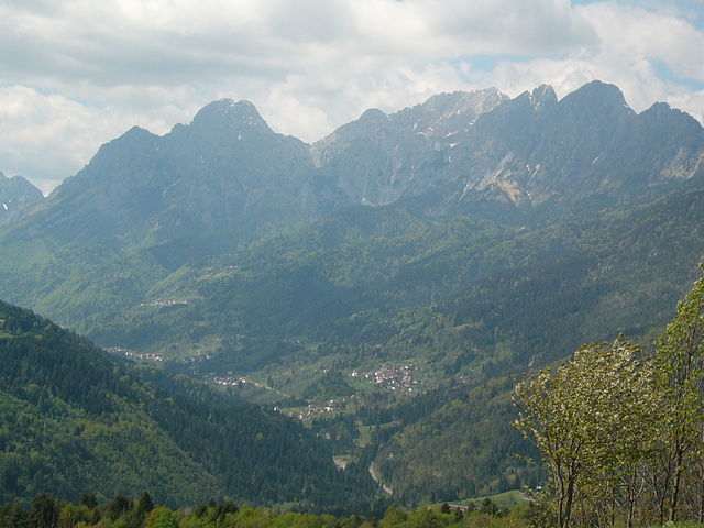

Prato Carnico
- Italian comune
Prato Carnico is a beautiful alpine village located in the Friuli Venezia Giulia region of northeastern Italy. It's set in the Carnic Alps, offering stunning natural landscapes that are perfect for hiking enthusiasts. Here are some highlights and tips for hiking in the Prato Carnico area:...
- Country:

- Postal Code: 33020
- Local Dialing Code: 0433
- Licence Plate Code: UD
- Coordinates: 46° 31' 0" N, 12° 49' 0" E


- GPS tracks (wikiloc): [Link]
- AboveSeaLevel: 686 м m
- Area: 81.72 sq km
- Population: 898
- Web site: [Link]
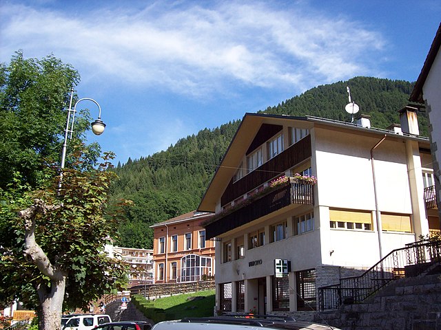

Ravascletto
- place and commune in Italy
Ravascletto, located in the Friuli Venezia Giulia region of Italy, is a beautiful destination for hiking enthusiasts. Nestled within the Carnic Alps, it offers a range of hiking trails that cater to various skill levels, making it an ideal spot for both beginners and experienced hikers....
- Country:

- Postal Code: 33020
- Local Dialing Code: 0433
- Licence Plate Code: UD
- Coordinates: 46° 32' 0" N, 12° 55' 0" E


- GPS tracks (wikiloc): [Link]
- AboveSeaLevel: 952 м m
- Area: 26.48 sq km
- Population: 530
- Web site: [Link]


Raveo
- Italian comune
Raveo, located in the Friuli Venezia Giulia region of northern Italy, offers a variety of beautiful hiking opportunities set against the backdrop of the stunning Friulian Alps. The area is known for its rich natural beauty, featuring lush forests, alpine meadows, and diverse wildlife, making it perfect for both casual walkers and experienced hikers....
- Country:

- Postal Code: 33029
- Local Dialing Code: 0433
- Licence Plate Code: UD
- Coordinates: 46° 26' 0" N, 12° 52' 0" E


- GPS tracks (wikiloc): [Link]
- AboveSeaLevel: 518 м m
- Area: 12.6 sq km
- Population: 446
- Web site: [Link]
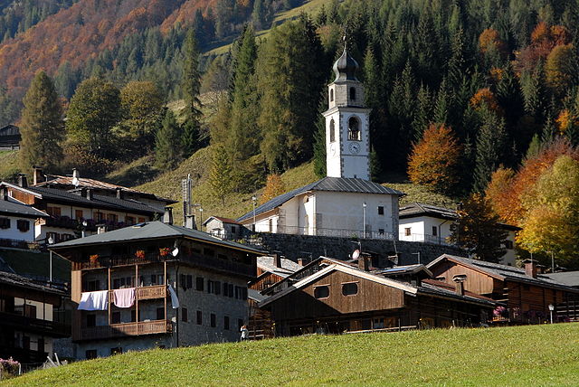

Sauris
- Italian comune
Sauris, a picturesque village located in the Friuli Venezia Giulia region of Italy, is a hidden gem for hikers. Nestled in the Julian Alps, it offers stunning landscapes, rich cultural heritage, and an array of hiking trails suitable for various experience levels....
- Country:

- Postal Code: 33020
- Local Dialing Code: 0433
- Licence Plate Code: UD
- Coordinates: 46° 27' 58" N, 12° 42' 31" E


- GPS tracks (wikiloc): [Link]
- AboveSeaLevel: 1212 м m
- Area: 41.49 sq km
- Population: 405
- Web site: [Link]

Socchieve
- Italian comune
Socchieve, a picturesque area in the Julian Alps of Italy, is known for its stunning natural landscapes and diverse hiking trails suitable for a variety of skill levels. Here’s what you can expect when hiking in Socchieve:...
- Country:

- Postal Code: 33020
- Local Dialing Code: 0433
- Licence Plate Code: UD
- Coordinates: 46° 23' 48" N, 12° 50' 53" E


- GPS tracks (wikiloc): [Link]
- AboveSeaLevel: 480 м m
- Area: 66.12 sq km
- Population: 896
- Web site: [Link]


Sutrio
- Italian comune
Sutrio is a charming village located in the Friuli Venezia Giulia region of northeastern Italy, and it's known for its stunning natural landscapes and rich cultural heritage. Hiking in this area can be a delightful experience, as it offers a variety of trails suitable for different skill levels....
- Country:

- Postal Code: 33020
- Local Dialing Code: 0433
- Licence Plate Code: UD
- Coordinates: 46° 30' 50" N, 12° 59' 25" E


- GPS tracks (wikiloc): [Link]
- AboveSeaLevel: 565 м m
- Area: 20.75 sq km
- Population: 1296
- Web site: [Link]
