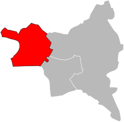
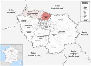
arrondissement of Argenteuil (arrondissement d'Argenteuil)

- arrondissement of France
- Country:

- Capital: Argenteuil
- Coordinates: 48° 56' 51" N, 2° 14' 56" E


- GPS tracks (wikiloc): [Link]
- Area: 108.62 sq km
- Population: 408510
- Wikipedia en: wiki(en)
- Wikipedia: wiki(fr)
- Wikidata storage: Wikidata: Q511613
- Freebase ID: [/m/0953z3]
- GeoNames ID: Alt: [6457376]
- INSEE arrondissement code: [951]
Includes regions:
canton of Argenteuil-Ouest
- canton of France (until March 2015)
- Country:
- Capital: Argenteuil
- Coordinates: 48° 57' 0" N, 2° 15' 0" E
- GPS tracks (wikiloc): [Link]


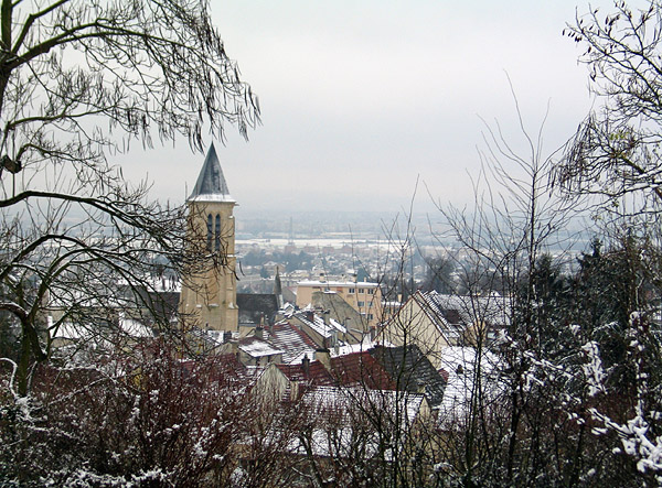
canton of Herblay
- canton of France
- Country:
- Capital: Herblay
- Coordinates: 49° 0' 0" N, 2° 10' 0" E
- GPS tracks (wikiloc): [Link]
- Population: 53777
canton of Argenteuil-Est
- canton of France (until March 2015)
- Country:
- Capital: Argenteuil
- Coordinates: 48° 57' 0" N, 2° 15' 0" E
- GPS tracks (wikiloc): [Link]
canton of Argenteuil-Nord
- canton of France (until March 2015)
- Country:
- Capital: Argenteuil
- Coordinates: 48° 57' 0" N, 2° 15' 0" E
- GPS tracks (wikiloc): [Link]

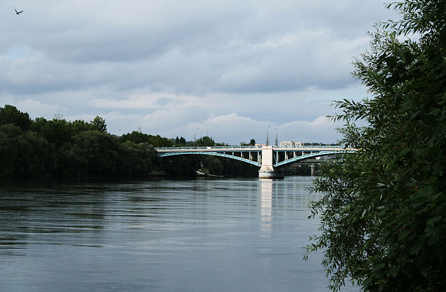
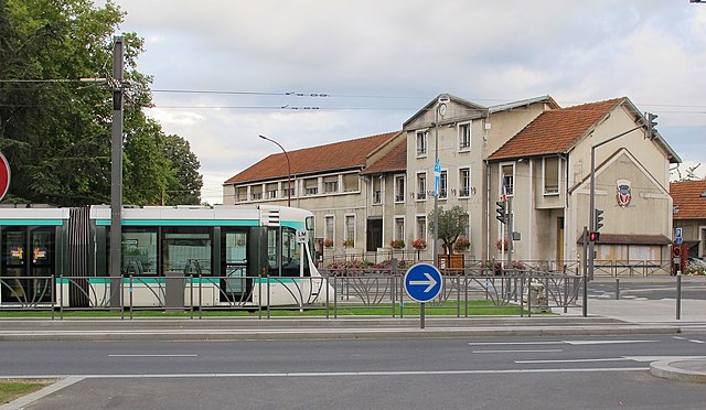
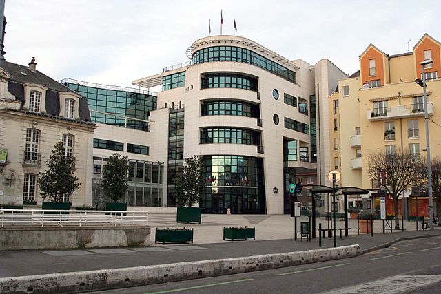
Argenteuil
- commune in Val-d'Oise, France
- Country:
- Postal Code: 95100
- Coordinates: 48° 56' 52" N, 2° 14' 51" E
- GPS tracks (wikiloc): [Link]
- AboveSeaLevel: 169 м m
- Area: 17.22 sq km
- Population: 110388
- Web site: [Link]
canton of Cormeilles-en-Parisis
- canton of France (until March 2015)
- Country:
- Capital: Cormeilles-en-Parisis
- Coordinates: 48° 59' 0" N, 2° 12' 0" E
- GPS tracks (wikiloc): [Link]
Shares border with regions:


arrondissement of Saint-Germain-en-Laye
- arrondissement of France
- Country:
- Capital: Saint-Germain-en-Laye
- Coordinates: 48° 54' 7" N, 2° 5' 0" E
- GPS tracks (wikiloc): [Link]
- Area: 341 sq km
- Population: 517641


arrondissement of Nanterre
- arrondissement of France
- Country:
- Capital: Nanterre
- Coordinates: 48° 53' 40" N, 2° 12' 12" E
- GPS tracks (wikiloc): [Link]
- Population: 889155

arrondissement of Saint-Denis, Seine-Saint-Denis
- arrondissement of France in Île-de-France
- Country:
- Capital: Saint-Denis
- Coordinates: 48° 56' 1" N, 2° 21' 23" E
- GPS tracks (wikiloc): [Link]
- Area: 47 sq km
- Population: 429266


arrondissement of Pontoise
- arrondissement of France
- Country:
- Capital: Pontoise
- Coordinates: 49° 3' 3" N, 2° 5' 47" E
- GPS tracks (wikiloc): [Link]
- Area: 765.98 sq km
- Population: 337178

arrondissement of Sarcelles
- French arrondissement in Val-d'Oise
- Country:
- Capital: Sarcelles
- Coordinates: 48° 59' 50" N, 2° 22' 43" E
- GPS tracks (wikiloc): [Link]
- Area: 364 sq km
- Population: 469702